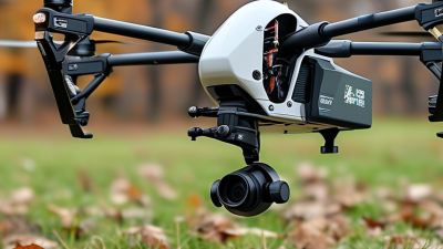
Choosing the right Uav Unmanned Aerial Vehicle is a practical decision, not a race for the newest specification. The aircraft must match the mission, environment, operator skill, and compliance requirements. A compact quadcopter may suit roof inspections, while a larger platform may support long-distance mapping. The difference becomes obvious when wind pushes against a loaded aircraft.
The Federal Aviation Administration reported more than 850,000 registered drones in the United States during 2024. Its forecast also shows continuing growth in commercial and recreational operations. Drone Industry Insights estimated the global commercial drone market at approximately $30 billion in 2023. These figures suggest opportunity, but they also reveal a crowded and uneven market. Some product claims remain difficult to verify. That deserves caution.
Chris Anderson, former CEO of 3D Robotics, described drones as “the new smartphones.” His comparison highlights their flexibility, but it can also oversimplify procurement. A professional buyer should examine flight endurance, payload limits, camera quality, obstacle sensing, data security, maintenance access, and service support. Battery performance should be tested in realistic conditions, not only in calm laboratory air. Regulations and privacy responsibilities matter just as much as technical performance. A cheaper aircraft may create higher costs through downtime, training, or missing data. The best choice is rarely perfect. It is the platform that performs reliably for a clearly defined task, with risks understood before takeoff.
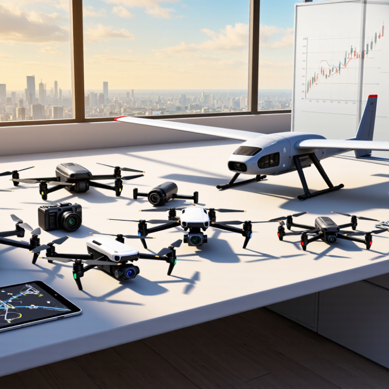
How to Choose the Right UAV Unmanned Aerial Vehicle?
Define the Mission, Operating Environment, and Flight Requirements
Choosing a UAV starts with the job, not the aircraft’s appearance. A rooftop inspection needs stable imaging, precise hovering, and safe obstacle clearance. A crop survey may value coverage, repeatable routes, and multispectral data. Write the required result in one sentence. If the result is vague, the aircraft choice will probably drift.
Describe the operating environment before comparing specifications. Measure wind exposure, temperature, dust, rain risk, and available landing space. A coastal site can corrode exposed parts faster than expected. A narrow construction area may block satellite signals near steel structures. Plan for people, property, and local airspace rules. Keep emergency procedures practical. A trained observer, visible flight boundaries, and a tested return plan often matter more than extra speed.
Turn the mission into flight requirements. Set useful flight time, payload weight, camera resolution, navigation accuracy, control range, and data security needs. Add margin for wind and battery aging. Laboratory endurance is not field endurance. I once treated a claimed flight time as a working number; cold weather and repeated climbs proved otherwise. That mistake changed our planning. Shorter flights, spare batteries, and a clear maintenance log may deliver better results than a larger platform. Test the complete workflow in the real location. A perfect specification can still fail on an ordinary day.
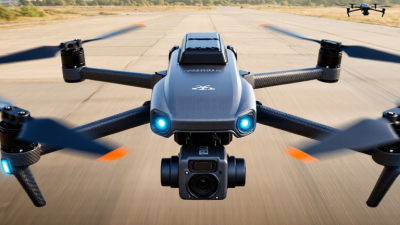
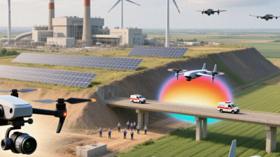
Define the mission first, then match the UAV to the operating environment and flight requirements. The chart shows representative planning targets for common civilian UAV missions. Actual requirements may vary with altitude, wind, temperature, route complexity, sensor weight, and regulatory limits.
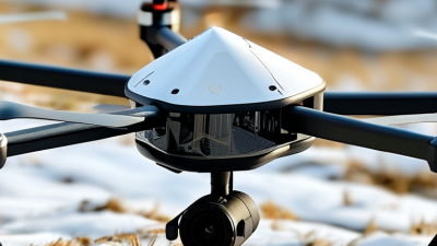
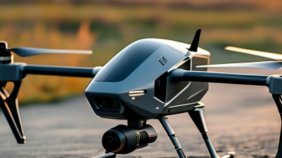
Choosing a UAV starts with the mission, not the aircraft’s appearance. Multirotor UAVs provide stable hovering and precise low-speed inspection. They work well around towers, roofs, and confined sites. Fixed-wing UAVs cover larger areas and usually offer longer endurance. However, they need launch space and cannot hover. VTOL configurations combine runway-free operation with efficient forward flight. This flexibility adds mechanical complexity and maintenance demands.
Payload compatibility requires more than checking the maximum weight. Measure the payload’s dimensions, mounting points, power draw, data connection, and center of gravity. A heavy camera may fit physically but destabilize the aircraft. A sensor can also exceed the available electrical capacity. Check vibration limits before flight. Even a small imbalance can create blurred images and higher motor load.
Real field testing often reveals overlooked problems. A payload rated for 1.5 kilograms may perform poorly near that limit, especially in wind. Leave a practical weight margin. Review flight time with the payload installed, not with an empty frame. Confirm whether the aircraft supports gimbals, thermal sensors, mapping cameras, or custom instruments. I once underestimated cable clearance during a configuration review; the solution required a simple bracket change, but the delay was avoidable. Sometimes the best configuration is not the most advanced one. It is the one that matches the payload, environment, operator skill, and inspection schedule. Perform a short test flight before committing to regular operations.
Practical comparison of common UAV configurations, operating characteristics, and payload suitability
| UAV Type | Typical Configuration | Typical Flight Time | Typical Range | Hover Capability | Typical Payload Capacity | Compatible Payloads | Best-Suited Applications | Main Limitations |
|---|---|---|---|---|---|---|---|---|
| Quadcopter | Four electric motors with four rotors; compact and mechanically simple | 20–45 minutes | 1–15 km, depending on regulations, control link, and battery | Excellent | 0.2–5 kg | RGB cameras, compact thermal cameras, multispectral sensors, small LiDAR units, loudspeakers | Inspection, mapping, photography, public safety, indoor and confined-area operations | Limited endurance; reduced efficiency in strong wind; loss of one motor usually prevents continued flight |
| Hexacopter | Six motors and six rotors; larger frame with partial propulsion redundancy | 25–50 minutes | 2–20 km, subject to the communication system and operating rules | Excellent | 2–12 kg | Professional gimbals, medium LiDAR, gas detectors, mapping cameras, delivery and sampling equipment | Heavy inspection sensors, surveying, utility work, emergency response, moderate-load transport | Higher purchase and maintenance cost than a quadcopter; greater power consumption and transport size |
| Octocopter | Eight motors and eight rotors; high lift capability and propulsion redundancy | 20–45 minutes | 2–20 km, depending on payload, battery, and operating conditions | Excellent | 5–25 kg | Heavy cinema cameras, large LiDAR systems, hyperspectral sensors, industrial samplers, cargo-release systems | Heavy industrial inspection, high-resolution mapping, aerial filming, specialized logistics | Shorter flight time under heavy load; larger operating footprint; higher energy and maintenance requirements |
| Fixed-Wing UAV | Rigid aerodynamic wings with one or more forward-thrust propellers; requires launch and recovery planning | 1–8 hours | 20–200 km or more, depending on aircraft class, battery, fuel, and regulations | No | 0.5–15 kg | Mapping cameras, multispectral and hyperspectral sensors, long-range communications equipment, compact LiDAR | Large-area surveying, agriculture, environmental monitoring, corridor mapping, maritime observation | Cannot remain stationary; needs suitable launch and landing space; less suitable for close-range inspection |
| Fixed-Wing VTOL Hybrid | Vertical-lift rotors for takeoff and landing combined with fixed wings for efficient forward flight | 1–6 hours | 20–150 km, depending on mission profile and payload | Yes, during VTOL phases | 0.5–10 kg | Survey cameras, multispectral sensors, compact LiDAR, thermal cameras, communication relays | Long-range mapping where runways are unavailable, linear infrastructure inspection, coastal and environmental surveys | More complex flight control and maintenance; transition between hover and forward flight requires careful system design |
| Tethered Multirotor | Multirotor connected to a ground station by a power and data tether | Several hours to continuous operation, subject to ground power and weather | Typically limited by tether length, often 50–150 m | Excellent | 1–10 kg | Persistent surveillance cameras, searchlights, communication relays, public-safety sensors | Persistent observation, event security, emergency communications, temporary lighting and monitoring | Restricted horizontal mobility; tether handling and ground equipment add operational complexity |
| Small Fixed-Wing UAV | Lightweight electric aircraft with hand, rail, or assisted launch and belly or net recovery | 45–150 minutes | 10–80 km | No | 0.1–2 kg | Compact RGB, thermal, multispectral, and atmospheric sensors | Agricultural scouting, wildlife surveys, terrain mapping, educational and research missions | Limited payload volume; cannot hover; sensitive to launch and recovery conditions |
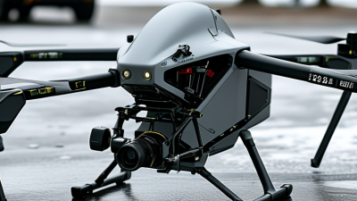
Choosing the right UAV starts with flight performance, not attractive specifications. Examine endurance, payload capacity, climb rate, and stability in realistic conditions. A drone carrying a camera may lose endurance in cold weather or strong wind. Ask for test data, not just advertised figures. During field evaluations, I watch how smoothly the aircraft holds position near buildings and trees. Small drifting movements can affect mapping accuracy and operator confidence.
Tips: Test the UAV with its actual payload. Check battery changes, landing behavior, and emergency return settings. Review logs after every flight. A short test flight is useful, but it can hide problems. Repeat testing in different temperatures and wind conditions.
The control system should feel predictable, especially when visibility becomes poor. Look for clear status alerts, adjustable flight limits, and responsive manual controls. A reliable link between the aircraft and ground station is equally important. Evaluate range, signal recovery, latency, and interference resistance within local regulations. Video quality matters, but stable command data matters more. I have seen teams focus on sharp images while overlooking delayed control inputs. That mistake is easy to make. Check whether the system records lost-link events and warns the operator early. Also consider training requirements, software updates, maintenance access, and secure data handling. A capable UAV is not always the easiest one to operate safely.
Choosing a UAV starts with safety, not camera resolution or flight time. FAA registration statistics published in 2024 reported more than 860,000 registered drones in the United States. That scale makes disciplined operation essential. Select aircraft with obstacle detection, return-to-home protection, low-battery alerts, and reliable flight logging. Small faults matter. Inspect propellers for hairline cracks, test emergency procedures, and never trust a battery with swelling or unusual heat.
Regulations should shape the purchase decision. Check registration, remote identification, pilot certification, operating zones, and local privacy requirements before ordering equipment. The FAA’s Part 107 framework requires knowledge testing for many commercial operations. European operators should also review EASA’s risk-based categories and national restrictions. Rules can change. Build a compliance checklist around the exact mission, location, altitude, and aircraft weight. A checklist feels slow, but an overlooked airspace restriction can stop a project immediately.
Training must include more than simulator hours. Practice manual control, lost-link responses, weather assessment, battery handling, and safe landing on uneven ground. EASA’s 2024 Annual Safety Review continues to identify human performance and operational discipline as important aviation safety concerns. Maintenance should follow manufacturer limits, inspection intervals, firmware guidance, and documented flight hours. Keep records. A practical weakness is assuming software warnings replace physical inspections; they do not. Review maintenance logs monthly, quarantine damaged parts, and reassess crew skills after long periods without flying. (Sources: FAA UAS registration statistics, 2024; EASA Annual Safety Review, 2024.)
How to Choose the Right UAV Unmanned Aerial Vehicle?
Match the Total Cost and Long-Term Value to Your Intended Use
The cheapest UAV rarely delivers the lowest long-term cost. Compare the purchase price with batteries, chargers, software, storage, training, insurance, and maintenance. A survey team may need accurate mapping, while a property manager may need simple visual inspections. Different work requires different value.
Look beyond the advertised flight time. Wind, temperature, payload weight, and battery age can reduce real performance. Ask for documented test conditions and service records. Check replacement-part availability and expected repair times. A grounded aircraft can cost more than a higher-priced, dependable option.
Keep the numbers practical.
Estimate weekly missions, operator hours, data-processing fees, and battery replacement cycles. A larger system may save time on wide sites, but it can demand more training and transport space. A compact unit may be efficient for short inspections, yet limiting for detailed surveying. I would not trust a spreadsheet alone. Field conditions often expose assumptions that looked reasonable on paper.
Review local operating requirements before purchase. Confirm registration, pilot qualifications, privacy duties, and approved flight areas. Reliable sellers should provide clear manuals, safety information, and realistic specifications. Test the workflow with a small project first. That imperfect trial may reveal whether the UAV actually reduces labor, improves evidence quality, and remains useful after the first year.