Leave Your Message

Why Choose a UAV Unmanned Aerial Vehicle?

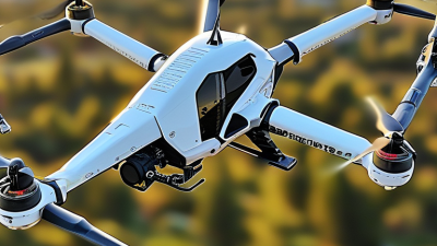
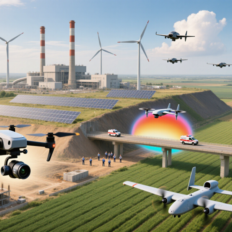
Choosing a Uav Unmanned Aerial Vehicle is no longer only a question of flight capability. It is a practical decision about data, safety, cost, and operational reach. Across construction sites, farms, energy facilities, and emergency planning, UAVs can capture perspectives that ground teams cannot easily reach. A camera can inspect a bridge joint from several meters away. A thermal sensor can reveal heat loss before workers enter a hazardous area.

The market is expanding, but enthusiasm needs evidence. Drone Industry Insights reported that the global drone market was worth approximately USD 34 billion in 2024, with continued growth expected through 2030. PwC previously estimated that drone-powered solutions could support more than USD 127 billion in business services and labor value across major industries. These figures indicate strong commercial potential, not guaranteed returns. The FAA Aerospace Forecast 2024–2044 also highlights increasing demand for unmanned aircraft operations and the importance of safe airspace integration.

Performance is only one part of the choice. Flight endurance, payload capacity, weather resistance, data security, pilot training, and maintenance determine real value. A small mapping team may prefer portability. An energy operator may need longer endurance and thermal imaging. Regulations matter everywhere.

No aircraft is perfect.

Even experienced operators can misjudge wind, battery health, or image quality. That limitation deserves attention. A reliable Uav Unmanned Aerial Vehicle should reduce exposure to danger, improve evidence collection, and support better decisions without replacing professional judgment. The strongest choice is not always the most advanced model. It is the system that fits the mission, the environment, and the people responsible for using its data.
Why Choose a UAV Unmanned Aerial Vehicle?

What Is a UAV and How Does It Work?

Why Choose a UAV Unmanned Aerial Vehicle?

What Is a UAV and How Does It Work?

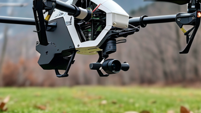
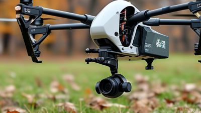
A UAV is an aircraft that flies without a person inside it. It carries a flight controller, motors, batteries, sensors, and communication equipment. An operator sends commands through a ground station or handheld controller. The flight controller constantly adjusts speed and direction. It uses data from GPS, gyroscopes, cameras, and altitude sensors to maintain stable flight. Some UAVs can follow planned routes, but human supervision remains important.

During a roof inspection, a UAV may hover beside a chimney and record cracks from a safe distance. In agriculture, multispectral sensors can reveal dry areas that look healthy from the ground. Surveying UAVs also capture overlapping images, which software converts into maps or three-dimensional models.

The process depends on steady lighting, accurate positioning, and careful image settings. Small errors matter.

The technology is useful, not magical. Strong wind can reduce battery life and affect image quality. Thick walls, trees, or nearby structures may interrupt communication. A map can look precise while hiding missing data. Operators should check weather conditions, equipment status, airspace requirements, and privacy responsibilities before every flight. Regulations differ by location and mission, so current official guidance deserves attention. Good results come from trained judgment, not automation alone. Sometimes, a slower manual inspection is still the better choice.
Key Advantages of Using UAVs

Why Choose a UAV Unmanned Aerial Vehicle?

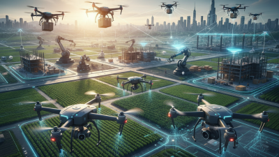
UAVs provide fast, repeatable access to difficult locations. A survey team can inspect a bridge deck, tower, or crop field without placing workers directly below hazards. High-resolution cameras and thermal sensors also capture details that ground inspections may miss. Better visibility matters.

The practical advantages are measurable. The Federal Aviation Administration reported more than 800,000 commercial drones registered in the United States in 2023. This figure reflects growing adoption across construction, agriculture, energy, and public safety. A PwC industry analysis estimated that drone-powered solutions could influence more than 127 billion dollars in business value worldwide. That estimate is broad, not a guaranteed saving. Real results depend on training, weather, data quality, and local operating rules.

UAVs can reduce repeated travel and create digital records for comparison. For example, an inspection team may revisit the same solar panels each month, using identical flight paths and timestamps. Managers can then identify surface changes earlier. However, automation is not magic. Battery limits, poor lighting, wind, and incomplete planning still cause weak data. Human review remains essential, especially when a cracked structure or stressed crop could affect safety. In my experience, the strongest UAV programs begin with a narrow task, clear measurement standards, and honest review of failed flights.

Major Applications Across Different Industries

Why Choose a UAV Unmanned Aerial Vehicle?

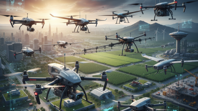
Across agriculture, UAVs help growers inspect large fields within hours. Multispectral cameras can reveal uneven irrigation, stressed plants, and early signs of disease. Farmers may then target field visits instead of checking every row manually. The view changes. In construction, aerial surveys create accurate site maps and progress records. Thermal sensors can identify heat loss, moisture, or electrical concerns in selected structures. Survey teams also use repeated flights to compare earth movement and material volumes. These results support safer planning, although poor weather can reduce image quality.

Infrastructure operators use UAVs to inspect bridges, roofs, towers, pipelines, and solar installations. High-resolution images can show cracks, corrosion, loose components, and blocked drainage without placing workers in unnecessary danger. Emergency services may map floodwater, wildfire boundaries, or damaged roads after an incident. Time matters. Environmental researchers monitor wetlands, coastlines, forests, and wildlife habitats with less physical disturbance. However, operators must protect personal privacy and follow local aviation, land-access, and data-handling rules.

UAVs also support logistics trials, film production, mining surveys, and public-works planning. Each mission needs a clear purpose, trained personnel, equipment checks, and documented risk controls. Experienced teams review wind, battery condition, visibility, and emergency procedures before launch. Not every flight works. Reflections, shadows, signal loss, or weak planning can produce misleading results. Human inspection remains necessary, especially when decisions affect safety, property, or public services. Reliable programs combine aerial data with ground measurements and professional judgment.

How UAVs Compare With Manned Aircraft

Why Choose a UAV Unmanned Aerial Vehicle?

How UAVs Compare With Manned Aircraft

When comparing UAVs with manned aircraft, the clearest difference is where risk sits. A pilot does not occupy the aircraft. This allows remote inspection of steep slopes, tall structures, flooded fields, and unstable work areas. UAVs also launch quickly, require smaller crews, and collect close-range images at lower operating costs. In practical operations, a thermal camera can reveal a warm component before visible damage appears.

Manned aircraft still lead in speed, range, payload capacity, and onboard decision-making. A crew can interpret changing weather, communicate directly with controllers, and adapt when sensors become unreliable. Many UAVs face shorter flight times, wind sensitivity, communication limits, and restricted payloads. Battery warnings arrive early. That matters. A UAV can circle a site precisely, but it may not replace an experienced aviation team’s judgment.

Reliable deployment depends on more than purchasing an aircraft. Operators need documented procedures, maintenance logs, airspace approvals, data protection controls, and repeated training. Small planning errors can affect an entire survey. A low battery, poor lighting, or blocked signal may leave gaps. The technology is impressive, but it is not effortless. Before each flight, a qualified team checks weather, batteries, permissions, emergency procedures, and the recovery area.

Important Factors When Choosing a UAV

Why Choose a UAV Unmanned Aerial Vehicle?

Important Factors When Choosing a UAV

The right UAV starts with the task, not the camera. Inspection, mapping, agriculture, and emergency response demand different designs. Define the required range, flight time, payload, and landing area. A heavier sensor can reduce endurance sharply. The FAA’s 2024–2044 Aerospace Forecast projects the United States commercial small-UAS fleet could reach 955,000 aircraft by 2044. More choices also create more room for poor decisions.

Check sensor accuracy, obstacle detection, weather resistance, and data security. A drone rated for light rain may fail in coastal wind or dusty construction zones. Confirm whether its positioning system works near tall buildings. Review battery cycle life and replacement costs, not only advertised flight time. MarketsandMarkets estimates the commercial drone market may grow from about US$20 billion in 2023 to over US$50 billion by 2028. That growth encourages rapid purchasing, but published specifications still need field testing. The longest flight is not always the best flight.

Tips

Ask for a real demonstration. Test the UAV with the intended payload, software, and operating temperature. Measure setup time, image quality, signal stability, and battery performance. Check operator training, maintenance support, insurance needs, and local aviation requirements. PwC’s industry analysis valued potential drone-enabled business services at more than US$127 billion, but that figure is an opportunity estimate, not guaranteed savings. A careful buyer should challenge optimistic claims. Sometimes, a simpler system performs better.