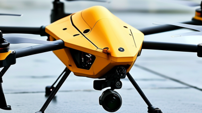
Choosing the 2026 best Uav Drone for global buyers requires more than comparing camera resolution or flight time. A capable aircraft must perform reliably in varied climates, from humid coastlines to dusty inland fields. It should also offer stable navigation, clear imaging, replaceable batteries, secure data handling, and responsive manufacturer support.
No single model wins everywhere.
Michael Huerta, former Administrator of the U.S. Federal Aviation Administration, stated, “Drones are not toys.” This warning remains relevant for international buyers. A professional Uav Drone is an operational tool, not merely a flying camera. Its value depends on training, maintenance, software updates, pilot awareness, and responsible use.
This guide evaluates leading models through practical buyer experience and documented specifications. It considers endurance, payload capacity, obstacle sensing, controller design, repair access, and total ownership cost. Regional requirements also matter. A drone suitable for agricultural mapping may not fit inspection work, filmmaking, or emergency response.
Marketing claims can sound impressive. Real-world performance is often less perfect. Wind reduces endurance. Cold weather affects batteries. Connectivity may weaken near dense buildings. Some advertised features depend on optional accessories or local availability.
Global buyers should therefore compare complete systems, not isolated numbers. They should confirm local operating requirements before purchase and review the manufacturer’s support network. The strongest choice may not be the newest or most expensive model. It may be the Uav Drone that performs consistently, protects collected data, and remains practical after months of daily use.
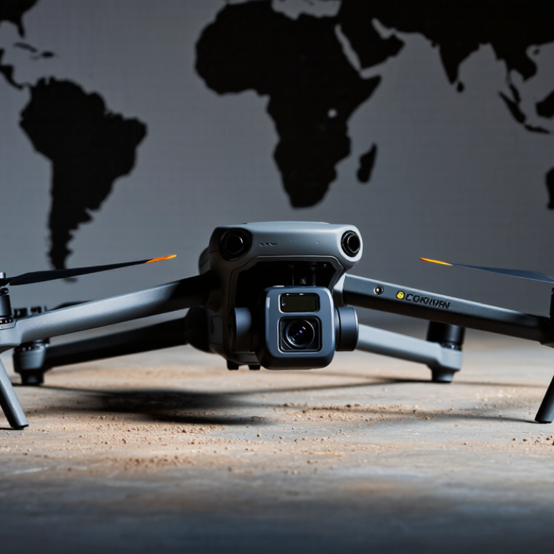
A UAV drone is an unmanned aircraft controlled remotely or through automated flight software. Its airframe determines weight, stability, and endurance. A larger frame may carry more equipment, but it usually needs stronger batteries and more transport space. Flight time also changes with wind, temperature, and payload weight. Marketing figures often reflect ideal conditions.
Global buyers should understand several key terms. The flight controller manages navigation and aircraft movement. GNSS supports positioning, while RTK can improve accuracy when correction data is available. A gimbal stabilizes cameras during inspection or mapping work. Payload means every item carried beyond the basic aircraft, including cameras, lights, and sensors. Check the control-link range carefully. Buildings and interference can reduce it sharply.
Safety features deserve practical attention. Return-to-home settings should include a safe altitude, not just a default value. Obstacle sensing helps, but thin wires and reflective surfaces may remain difficult to detect. Battery health, spare parts, software support, and weather resistance affect long-term value. An IP rating is useful, yet it does not guarantee safe operation in heavy rain. Buyers must also verify local registration, pilot qualifications, operating zones, radio requirements, and privacy rules before purchase. No checklist is perfect. I would test the drone in an open, controlled area before trusting it with expensive equipment or important data.
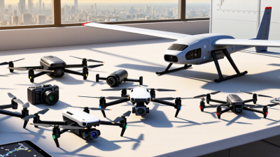
A capable UAV should remain stable when wind changes suddenly. Check hover accuracy, climb speed, braking distance, and battery endurance under realistic payloads. A claimed 40-minute flight may fall below 25 minutes in cold weather. My early comparisons focused too much on speed. That was a mistake. Smooth low-speed control often matters more during inspection, mapping, and landing.
Sensor quality affects every flight decision. Compare camera resolution, thermal sensitivity, obstacle detection range, and performance in low light. Ask whether the system records clear details from 100 meters, not just in bright sunlight. The control system should offer responsive commands, secure data handling, and predictable return behavior. Test signal stability behind trees and concrete walls. Always confirm local operating requirements before purchase.
Tips: Request flight logs and independent test data. Check spare battery availability, software support, and repair procedures. A useful trial includes a windy field, a narrow landing area, and a two-hour sensor review. Do not trust one impressive demonstration. I would also repeat the test with a different operator, because human control errors can reveal weaknesses that specifications hide.
The best UAV depends on the work, not the longest flight time. For land surveying, select a stable platform with precise positioning, strong imaging, and repeatable flight paths. Agriculture needs multispectral data, simple field coverage, and batteries that survive dusty mornings. Infrastructure inspection demands obstacle sensing, low-light imaging, and dependable hovering near towers or bridges.
The World Economic Forum identifies drones as important tools for infrastructure, agriculture, and emergency response. Fortune Business Insights valued the commercial drone market at over USD 30 billion in 2023, with strong growth expected through 2030. These figures show demand, but they do not guarantee suitability. A low-cost aircraft may produce attractive images while missing accurate measurement data. I have seen that mistake during site surveys.
For emergency mapping, rapid deployment and stable video can matter more than maximum range. For environmental monitoring, quiet operation, long endurance, and replaceable payloads are practical advantages. Buyers should also check local registration, airspace restrictions, radio requirements, and data-storage rules before purchase. The Federal Aviation Administration reported more than 860,000 registered drones in the United States in 2024, illustrating how quickly oversight is developing. Maintenance access matters too. A drone grounded for a small part can delay an entire project. Specifications rarely show that weakness.
2026 Best UAV Drone for Global Buyers?
Buying a UAV internationally requires more than comparing flight time, camera quality, and price. Regulations differ by country, and sometimes by city or airport zone. Check registration, pilot certification, operating limits, remote identification, and restricted airspace before ordering. Some authorities also require insurance or permission for commercial flights. Confirm that the aircraft follows recognized safety frameworks, such as applicable ASTM or ISO standards. Rules can change quickly.
Import details matter too. Ask the seller for the correct customs classification, user manual, battery documentation, and conformity records. Lithium batteries may require special packaging and transport declarations. Wireless equipment must also meet the destination’s radio-frequency requirements. A drone approved in one market may need additional testing elsewhere. Do not rely only on a product webpage. Request written documents.
Tips: Create a country-specific checklist before payment. Verify the regulator’s official website, then contact customs if the battery or camera creates uncertainty. Keep invoices and serial-number records. Test return-to-home, obstacle sensing, and emergency landing functions in an open, legal area. Privacy deserves attention. Avoid recording private property without permission. Even experienced buyers miss small requirements, especially local flight-zone rules. I would leave extra time for approval, because a perfect delivery plan can still fail at customs.
For ordinary visual-line-of-sight operations, many major markets use an approximately 120-metre altitude ceiling. The United States and Canada commonly express the limit as 400 feet or 122 metres. Importers should separately verify aircraft registration, pilot competency, Remote ID or tracking requirements, radio-frequency compliance, insurance, and local airspace restrictions before purchase or operation.
Reference basis: United States FAA recreational flight limit of 400 ft, Canada 122 m, European Union open-category limit of 120 m, United Kingdom 120 m, and Australia 120 m. Requirements and exceptions vary by aircraft weight, operating category, location, and mission.
2026 Best UAV Drone for Global Buyers?
UAV Costs, After-Sales Support, and Long-Term Ownership Value
For global buyers, the best UAV is rarely the cheapest aircraft. Drone Industry Insights’ 2024 market analysis forecasts the commercial drone sector will exceed US$50 billion by 2030. That growth creates more choices, but also more ownership risks. Purchase prices often exclude batteries, payload calibration, training, transport cases, software access, and repairs. A working fleet may need two spare batteries per aircraft. Battery replacement becomes a quiet operating expense. Many procurement teams underestimate it.
After-sales support matters when a mission suddenly stops. Ask about regional repair centers, response-time targets, spare-parts availability, firmware policies, and warranty exclusions. EASA guidance highlights maintenance, operational competence, and risk management alongside aircraft capability. Track cost per flight hour across three to five years. Include technician time and lost survey days. This feels tedious. It is also revealing. A low quotation can become expensive after one damaged gimbal or delayed shipment.
Tips: Request a five-year ownership spreadsheet before ordering. Test one unit in local weather. Check battery aging after repeated field cycles. Put service promises in writing. Reassess the purchase after six months. Real flight data may disagree with the sales sheet.
| UAV Profile | Typical Mission | Indicative Purchase Cost (USD) |
Typical Flight Time | Payload / Sensor Capacity | Annual Maintenance (USD) |
After-Sales Support Priority | Estimated 3-Year Ownership Cost (USD) |
Long-Term Value Score (10) |
|---|---|---|---|---|---|---|---|---|
| Compact Camera UAV | Travel photography, media work, visual inspection | $700–$2,000 | 25–45 minutes | Integrated RGB camera; no external payload | $100–$250 | Spare batteries, firmware updates, repair turnaround | $1,300–$3,100 | 8.6 |
| Professional Imaging UAV | Real-estate surveys, construction progress, content production | $2,000–$6,000 | 30–50 minutes | High-resolution RGB; optional zoom or low-light camera | $250–$600 | Calibration, gimbal repair, software compatibility, operator training | $3,000–$8,000 | 8.9 |
| Survey and Mapping Multirotor | Orthomosaic mapping, stockpile measurement, land surveying | $6,000–$18,000 | 25–45 minutes | Survey-grade RGB or multispectral sensor; RTK/PPK option | $700–$1,800 | Sensor calibration, positioning accuracy, data-processing support | $10,000–$25,000 | 9.2 |
| Thermal Inspection UAV | Solar-panel checks, electrical inspection, firefighting support | $5,000–$16,000 | 25–45 minutes | Radiometric thermal camera plus RGB camera | $600–$1,600 | Thermal calibration, weather sealing, battery replacement, repair access | $9,000–$23,000 | 9.0 |
| Heavy-Lift Multirotor | Industrial inspection, delivery trials, agricultural spraying | $15,000–$45,000 | 15–35 minutes with payload | Approximately 2–10 kg, depending on configuration | $1,500–$4,500 | Motor and propeller inspection, payload integration, safety documentation | $23,000–$67,000 | 8.3 |
| Fixed-Wing Mapping UAV | Large-area agriculture, corridor mapping, environmental monitoring | $12,000–$40,000 | 60–180 minutes | RGB, multispectral or lightweight LiDAR payload | $1,200–$3,500 | Launch and recovery training, airframe repair, mission-planning software | $19,000–$59,000 | 8.8 |
| Long-Endurance VTOL Fixed-Wing | Remote-area monitoring, infrastructure corridors, coastal and wildlife surveys | $25,000–$90,000 | 90–360 minutes | RGB, thermal, multispectral or lightweight LiDAR payload | $2,500–$8,000 | Autopilot support, airworthiness documentation, communications link and field service | $38,000–$125,000 | 8.5 |