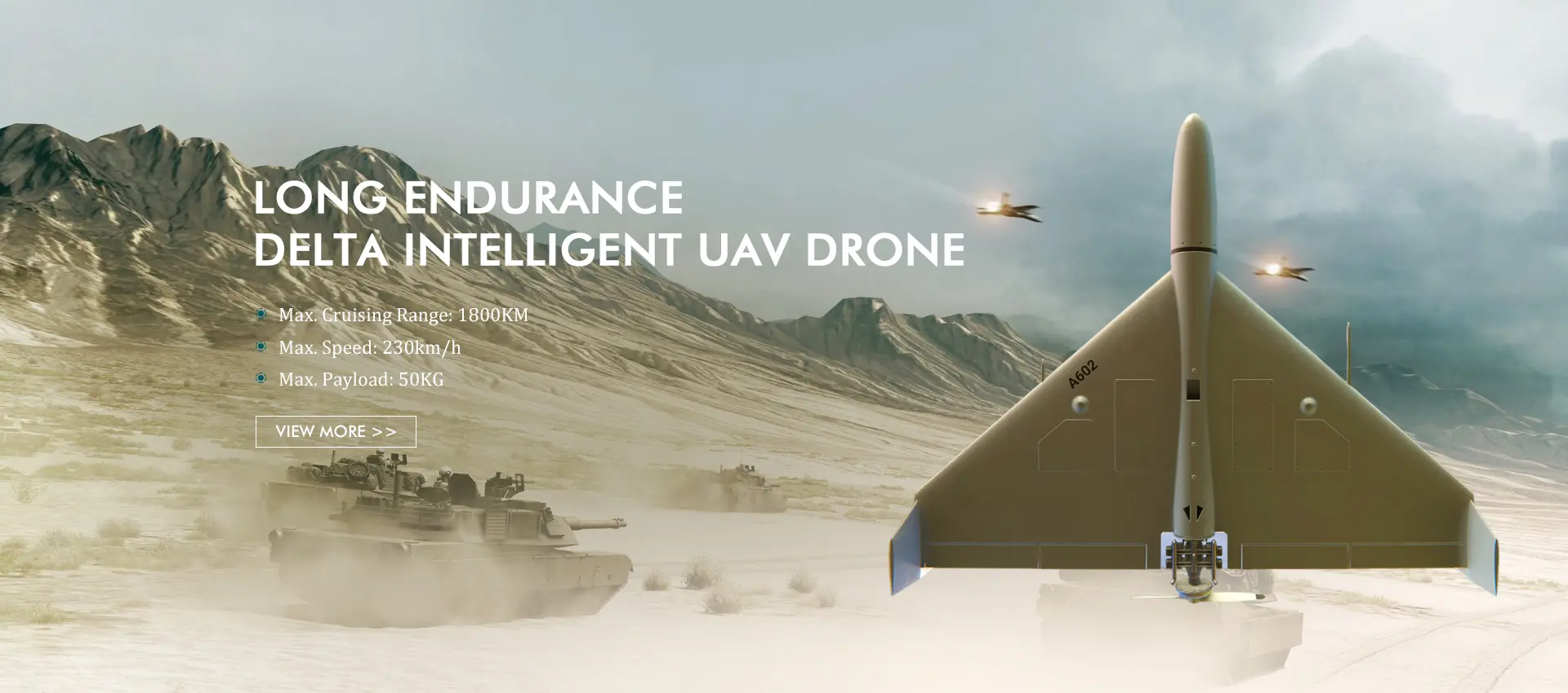
High-Quality Fixed Wing Mapping Drones | Top Exporter & Manufacturer
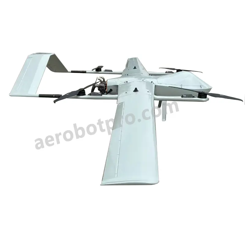
Aerobot Avionics Technologies Co., Ltd. is at the forefront of fixed wing mapping drone technology, offering high-performance solutions tailored for aerial mapping and surveying. Our drones are engineered with cutting-edge imaging systems and sophisticated flight controls, ensuring precise data collection and exceptional reliability. With impressive endurance and high-resolution capabilities, they cater to a wide range of applications, including land surveying, agricultural monitoring, construction site mapping, and environmental conservation. Committed to innovation and customer satisfaction, our fixed wing mapping drones are developed to meet the needs of professionals, providing superior performance in the field. Enhance your aerial mapping and surveying projects with Aerobot's advanced drone technology, where precision and efficiency converge.