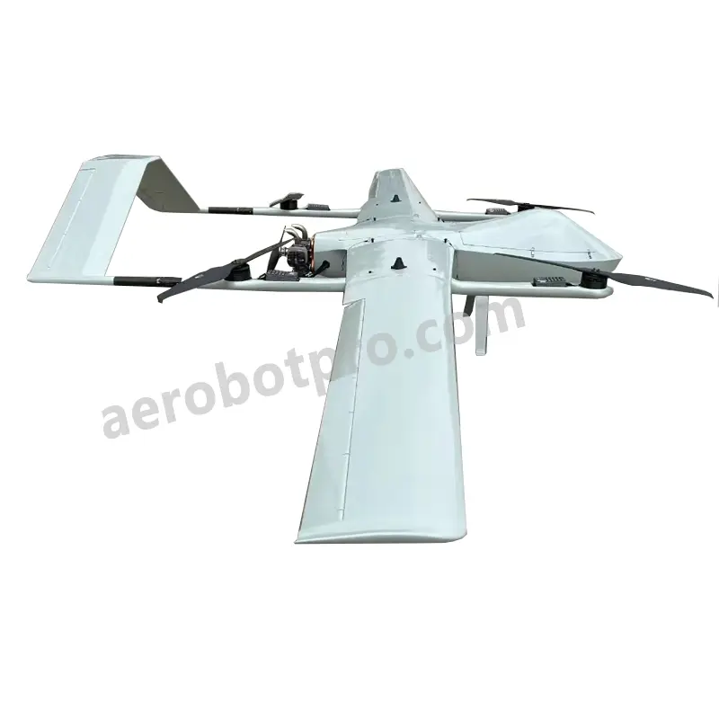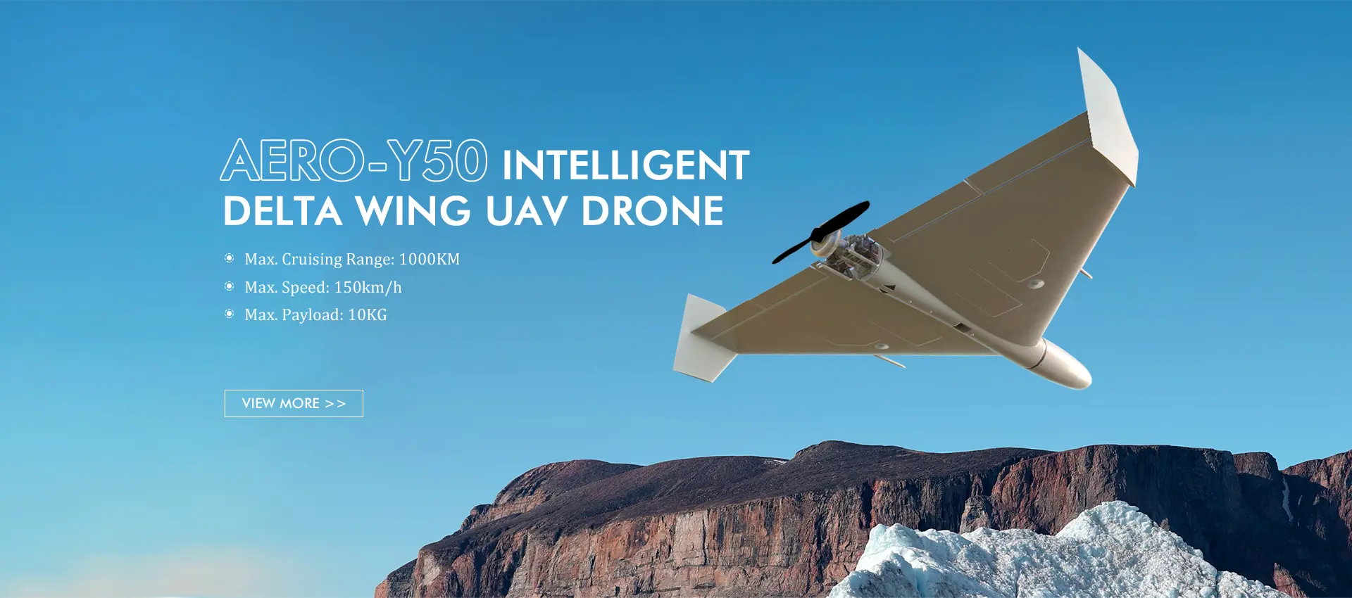
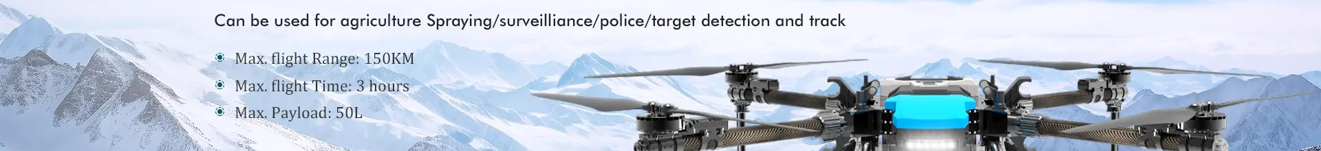
Premium Fixed Wing Mapping Drones - Best Products for Precision Surveys
Aerobot Avionics Technologies Co., Ltd. proudly presents our Fixed Wing Mapping Drone Exporter, a cutting-edge solution designed to transform mapping and surveying procedures. Engineered for precision and efficiency, this advanced drone captures high-resolution aerial imagery with exceptional accuracy. Its fixed-wing design enables longer flight durations and expansive coverage, making it perfect for extensive mapping projects and survey missions. With intuitive operation and customizable mapping software, the drone streamlines the data collection process, ensuring trustworthy and comprehensive results. From agriculture and environmental monitoring to infrastructure inspection and urban planning, the Fixed Wing Mapping Drone Exporter serves as a powerful tool for professionals across diverse fields, exemplifying our commitment to innovation and excellence in aerial data collection.