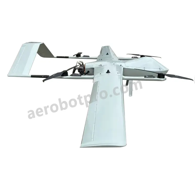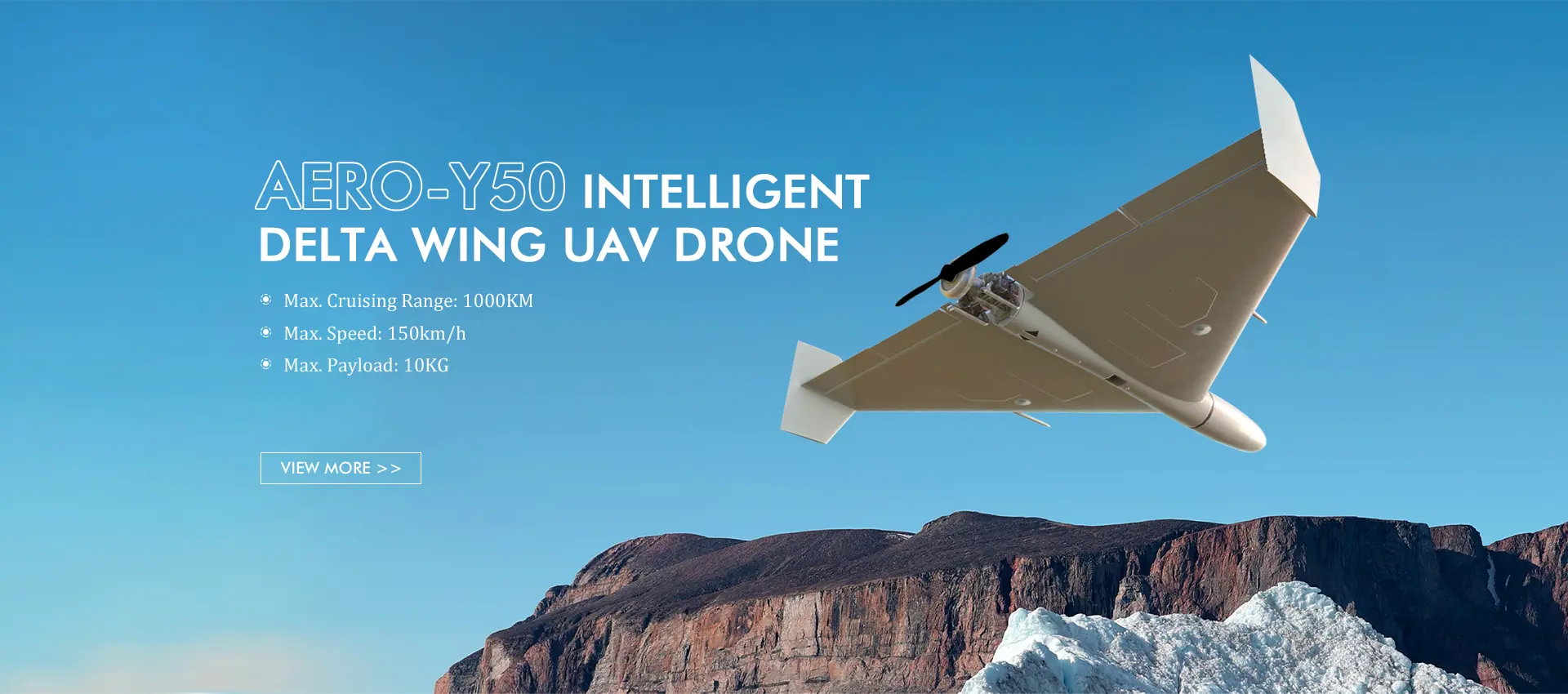

High-Quality OEM Fixed Wing Lidar Drones for Precision Mapping and Surveying
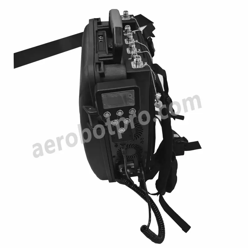
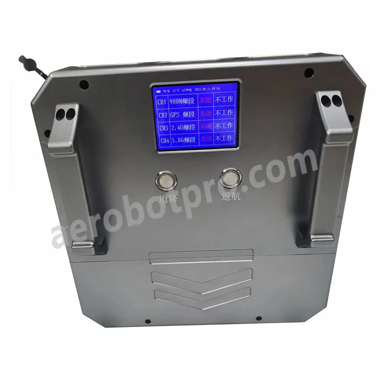
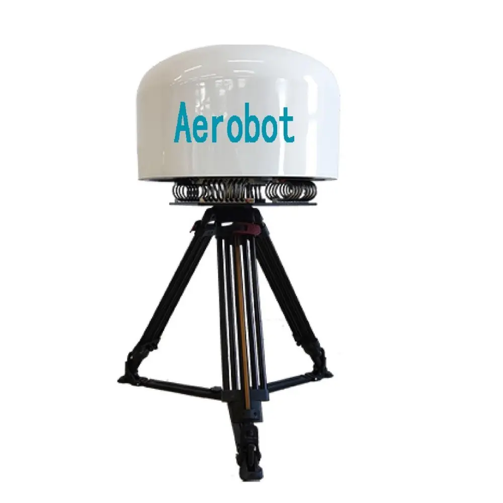
Enhance your aerial surveying and mapping capabilities with Aerobot Avionics Technologies Co., Ltd.'s state-of-the-art Fixed Wing Lidar Drone. Engineered for precision and efficiency, this advanced drone is ideal for diverse industries, including agriculture, forestry, urban planning, and environmental monitoring. Equipped with cutting-edge Lidar technology, it delivers exceptional accuracy in 3D terrain mapping and vegetation analysis. Featuring extended flight times and a wide coverage area, the drone maximizes productivity and data collection in a single mission, optimizing both time and resources. Designed for ease of use and outstanding performance, our Fixed Wing Lidar Drone provides professionals with reliable and cost-effective aerial surveying solutions. Committed to innovation and quality, Aerobot Avionics Technologies Co., Ltd. ensures that its high-end drone technology meets the demands of modern surveying and mapping applications, elevating your aerial data collection process.