
Get Fixed Wing Drone Lidar Quotes from Leading Manufacturers & Factories
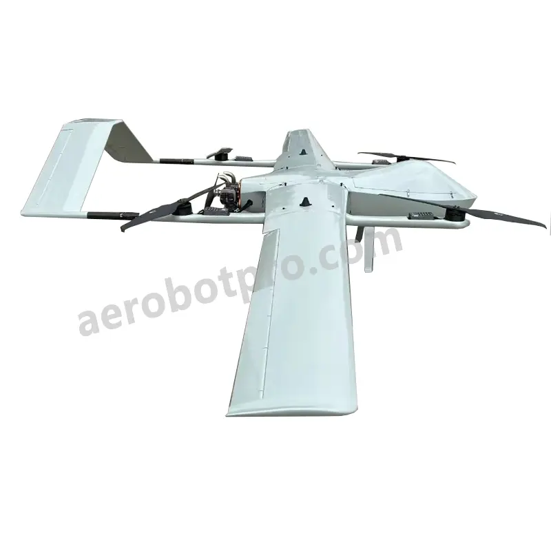
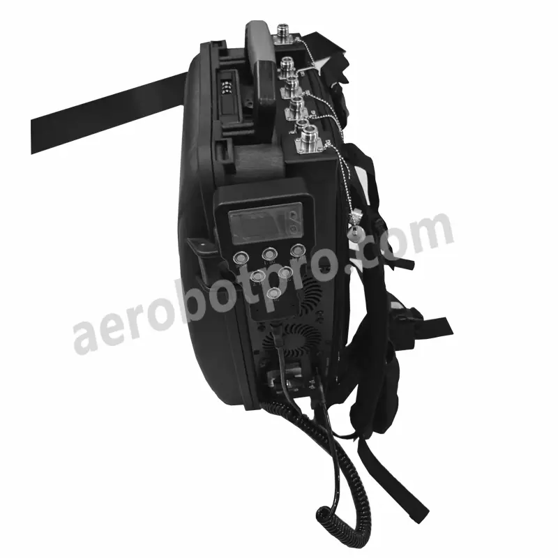
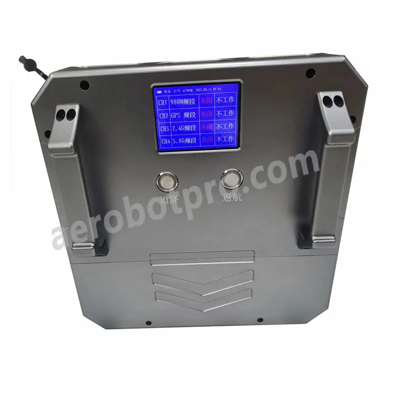
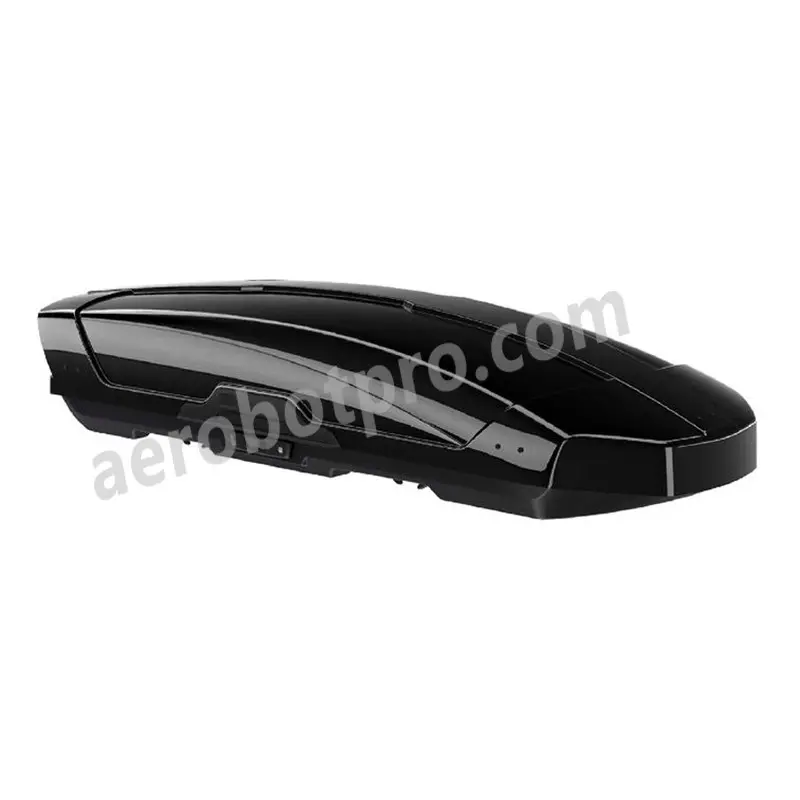
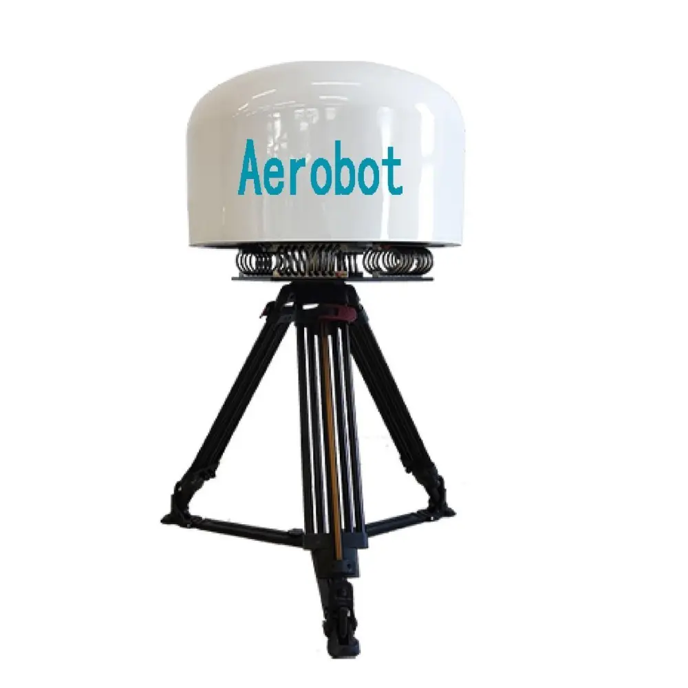
Experience advanced aerial surveying and mapping with the fixed-wing drone LiDAR system from Aerobot Avionics Technologies Co., Ltd. This innovative system integrates a high-precision LiDAR sensor onto a fixed-wing drone, perfect for applications such as land surveying, infrastructure inspection, and forestry management. The fixed-wing design ensures extended flight times and comprehensive area coverage, making it suitable for large-scale projects. Our LiDAR sensor captures highly accurate 3D point cloud data, allowing clients to create detailed topographic maps, digital elevation models, and conduct vegetation analysis. Equipped with sophisticated flight planning and data processing software, this system enables efficient data collection and analysis. Built to withstand varied outdoor conditions, our rugged design ensures reliability during aerial missions. Transform your aerial surveying and mapping capabilities with the cutting-edge technology of Aerobot Avionics Technologies Co., Ltd.'s fixed-wing drone LiDAR system.