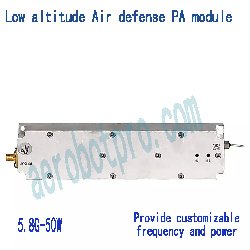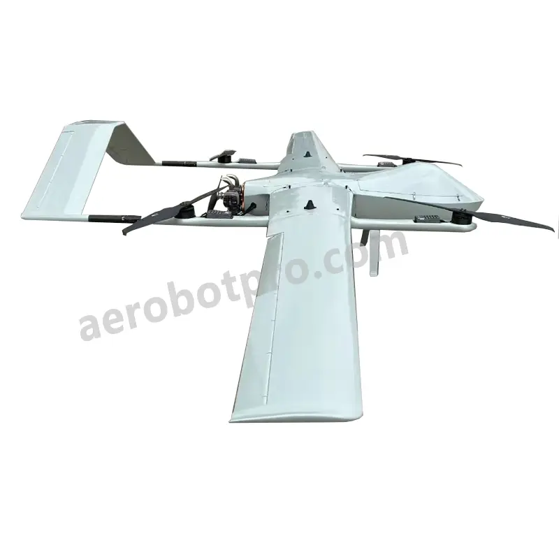
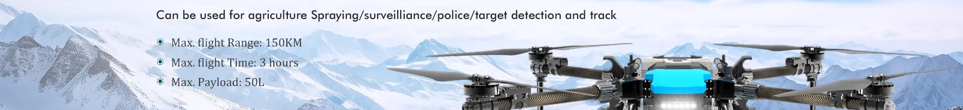
Top Fixed Wing Drone LiDAR Manufacturers: OEM Pricelist & Factory Insights
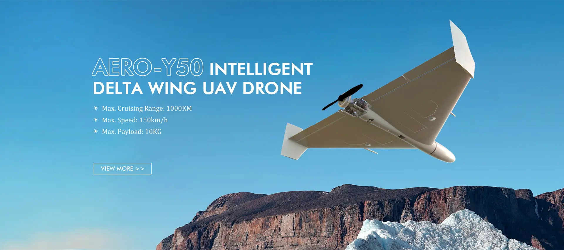
Enhance your aerial surveying and mapping with Aerobot Avionics Technologies Co., Ltd.'s fixed-wing drone LiDAR system. Our state-of-the-art LiDAR technology enables precise and efficient data collection for various applications, including topographic mapping, infrastructure assessment, and forestry management. The system features advanced sensors and high-performance flight control software, guaranteeing stability and accuracy during data acquisition. Designed for effortless deployment and use, it caters to a wide range of professionals, from surveyors and engineers to environmental scientists and land managers. With our fixed-wing drone LiDAR system, users benefit from streamlined data collection, heightened accuracy, and quicker project turnaround, fostering cost savings and increased productivity. Whether handling large-scale projects or intricate mapping in challenging environments, our solution is tailored to meet your specific needs. Choose Aerobot Avionics Technologies Co., Ltd. to elevate your aerial surveying and mapping capabilities.