Revolutionizing Land Mapping: The Role of Drone Surveying in Modern Geography
In the ever-evolving landscape of modern geography, traditional methods of land mapping face significant challenges in terms of accuracy, efficiency, and accessibility. Enter drone surveying, a groundbreaking technology that is revolutionizing the way we capture and analyze spatial data. By harnessing the power of unmanned aerial vehicles, drone surveying offers unprecedented precision and speed, enabling geographers to create detailed topographical maps with minimal human intervention. This innovative approach not only reduces overhead costs but also enhances data collection in challenging or inaccessible terrains. As the demand for accurate land mapping continues to rise, understanding the transformative role of drone surveying becomes essential for geospatial professionals and stakeholders alike. This introduction delves into why drone surveying is not just a trend, but a necessary advancement in the field of geography, setting the stage for a deeper exploration of its applications and implications.

The Emergence of Drone Surveying in Geospatial Data Collection
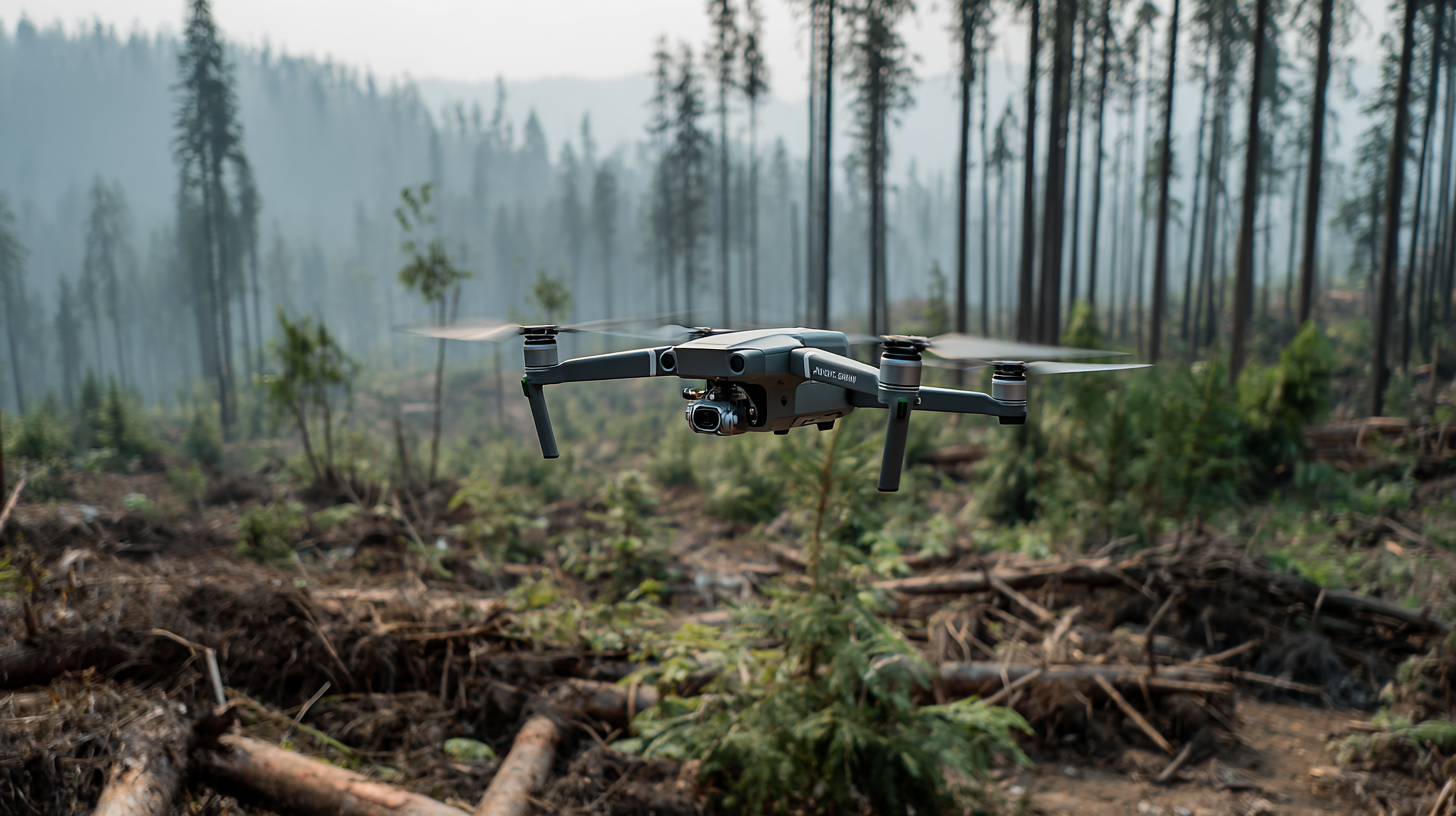
The emergence of drone surveying has fundamentally changed the landscape of geospatial data collection. Traditionally reliant on ground surveys or satellite imagery, geographers and land planners now utilize drones to capture high-resolution data with unprecedented efficiency. Drones can cover large areas in a fraction of the time and cost of conventional methods, allowing for rapid assessments and more timely decision-making in projects such as urban planning, environmental monitoring, and disaster response.
Tips: When implementing drone surveying in your projects, always ensure compliance with local regulations and airspace restrictions. Additionally, investing in quality equipment and software will enhance the accuracy of your data collection and analysis.
As drone technology continues to advance, new applications in geography are emerging. Real-time data processing with integrated GPS and advanced imaging techniques has refined the precision of geospatial data. This not only aids in creating detailed topographic maps but also assists in monitoring changes over time, such as land use variations or environmental degradation.
Tips: Regularly train your team on the latest drone technologies and geospatial analysis tools to maximize the benefits of this innovative approach. Collaboration with drone surveying specialists can also enrich your project outcomes.
Comparative Efficiency of Drone Technology vs. Traditional Mapping Methods
Drone technology is making significant strides in the field of modern geography, particularly in land mapping. Recent reports highlight how drones are not only enhancing data collection but are also boosting safety and operational efficiency in various sectors, including mining. In comparative studies, drones have been shown to outperform traditional methods, providing accurate 3D mapping data and minimizing human error. For instance, drones enable real-time monitoring, which enhances situational awareness and reduces risks associated with ground surveying.
**Tips:**
1. When utilizing drones for land mapping, ensure to maintain compliance with local regulations to avoid fines and operational interruptions.
2. Consider integrating advanced imaging technologies with drone data to enhance the quality of geographical information extracted.
Moreover, innovative approaches, such as using lightweight detector models that enhance small target detection, demonstrate the technological advancements in drone applications. Reports indicate that these modern methods outperform conventional surveying techniques, especially in complex environments. Drones can cover large areas in less time, effectively transforming how geographic information is gathered and analyzed, leading to smarter and more efficient environmental management practices.

Impact of Drone Surveying on Accuracy and Precision in Land Mapping
Drone surveying is rapidly transforming land mapping by significantly enhancing both accuracy and precision. The recent high-resolution (HR) UAV land cover mapping in Serbia serves as a prime example, demonstrating the critical importance of open-source land cover maps for vital applications such as food security and land use planning. This technology allows for the meticulous examination of diverse natural environments, supporting better decision-making at local and national levels.
Furthermore, initiatives like the Naksha City Survey Project in Tripura underline the practical benefits of drone deployment in land measurement. By providing precise measurements of residential land, drones contribute to the creation of accurate land records, which is essential for effective land management. The integration of drone technology in various sectors, including agriculture and mining, showcases its pivotal role in streamlining operations and enhancing safety, ultimately leading to more reliable data collection and improved resource management in modern geography.
Cost-Effectiveness and Time Savings: A Case Study of Drone Applications
The integration of drone technology into land surveying has revolutionized the geospatial industry, offering significant cost-effectiveness and time savings compared to traditional surveying methods. A recent report from MarketsandMarkets indicates that the global drone service market is projected to grow from $4.4 billion in 2020 to $63.6 billion by 2025, highlighting the rising adoption of drones across various sectors, including geography and land mapping. One notable case study demonstrated that using drones reduced surveying time by up to 80%, allowing projects that would typically take months to complete in a matter of weeks.
Moreover, the cost implications of drone surveying are equally compelling. According to a study by the DroneDeploy, organizations that switched to drone mapping reported a decrease in overall surveying costs by approximately 50% within the first year of implementation. These savings stem from reduced labor and equipment expenses; drones require less manpower and are often less expensive to deploy than conventional surveying equipment. As the technology continues to advance, embracing drone surveying is becoming crucial for land mapping professionals aiming to optimize efficiency and reduce expenditures.
Future Prospects: How Drone Surveying Will Shape the Geography Landscape
Drone surveying is set to revolutionize the field of geography by offering unprecedented accuracy and efficiency in land mapping. As technology rapidly advances, drones equipped with state-of-the-art sensors and AI capabilities are transforming how geographers gather data. This innovative approach not only simplifies the surveying process but also enhances the ability to analyze vast areas of land quickly, providing insights that were once time-consuming and labor-intensive.
Looking ahead, the implications of drone surveying extend beyond mere efficiency. As industries increasingly recognize the value of accurate geographical data, the landscape of geography itself is evolving. The integration of drones into land mapping practices paves the way for more informed decision-making in urban planning, environmental monitoring, and resource management. Furthermore, as the technology continues to develop, we can expect to see more seamless collaboration between fields such as real estate, where AI and drone data will play a crucial role in identifying market trends and optimizing investments. The future of geography, therefore, lies in the synergy of traditional practices and cutting-edge technology, paving a new way forward in land surveying.
Revolutionizing Land Mapping: The Role of Drone Surveying in Modern Geography - Future Prospects: How Drone Surveying Will Shape the Geography Landscape
| Dimension |
Description |
Impact on Geography |
Future Prospects |
| Survey Speed |
Drones can cover large areas quickly compared to traditional land surveying methods. |
Reduces project timelines significantly. |
Further advancements may lead to real-time mapping capabilities. |
| Data Accuracy |
Drones provide high-resolution images and data collection, increasing mapping precision. |
Improves the reliability of geographic information systems (GIS). |
Technological improvements could enhance measurement accuracy even further. |
| Cost Efficiency |
Reduces labor and resource costs associated with traditional surveying. |
Makes mapping accessible for smaller projects and organizations. |
Costs may decrease further with wider adoption and improved technology. |
| Environmental Impact |
Minimally invasive, reducing environmental disruption compared to ground surveys. |
Facilitates sustainable mapping practices. |
Potential for integration with environmental monitoring systems. |
| User Accessibility |
Drones enable non-experts to conduct surveys with user-friendly software. |
Expands participation in land mapping projects. |
Future software updates may allow for even greater public engagement. |